
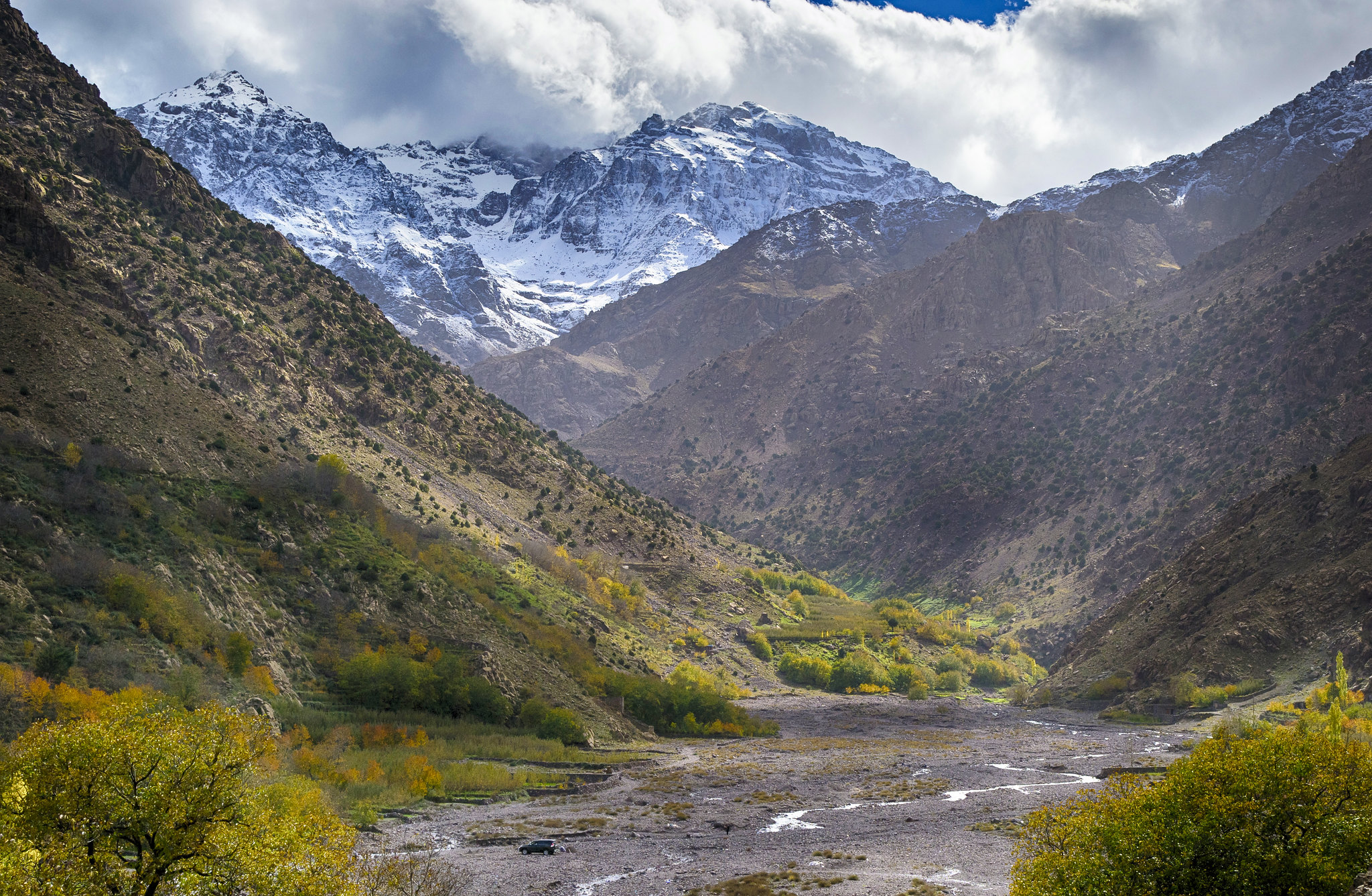
On clear days you can see the High Atlas from Marrakech, snow-capped in the cooler months, and the first valleys are closer than most visitors think. The mountains begin roughly an hour’s drive from the city, which makes them one of the easiest day trips you can take.
Drive times from Marrakech
| Place | Distance | Driving time | Good for |
|---|---|---|---|
| Asni | 52 km | about 1 h | a town in the foothills, on the way to Imlil |
| Setti Fatma, Ourika valley | 65 km | about 1 h 25 | river valley, walks to the cascades |
| Imlil | 68 km | about 1 h 20 | village walks, treks, the base for Toubkal |
| Oukaïmeden | 80 km | about 1 h 45 | high plateau and Morocco’s ski slopes in winter |
Times are pure driving without stops, measured on today’s roads. Mountain roads are slower than the distance suggests.
The Ourika valley
The Ourika valley follows the Ourika river into the mountains. Setti Fatma, at the end of the paved road, is the starting point for the classic walk upstream to a series of cascades. It is the most straightforward mountain day from Marrakech.
Imlil and Toubkal
Imlil is a village at the head of a valley below Jebel Toubkal (4,167 m), the highest mountain in North Africa. It is a base for walks through the villages of the valley, and the start of the two-day Toubkal climb. We explain that in Toubkal Trek from Imlil.
How to get there
- With a driver or on a day trip: the simplest option, especially for Imlil and the mountain roads.
- By hire car: possible; drive in daylight.
- On foot in the mountains: go with a local guide. The UK government’s travel advice recommends a professional guide for Atlas hiking, and a guide is compulsory on the Toubkal route.
Plan your mountain day
We run day trips from Marrakech and treks in the High Atlas. Tell us how active you want the day to be: WhatsApp +212 661 933 546.